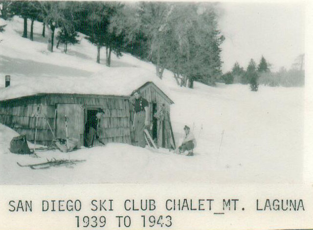
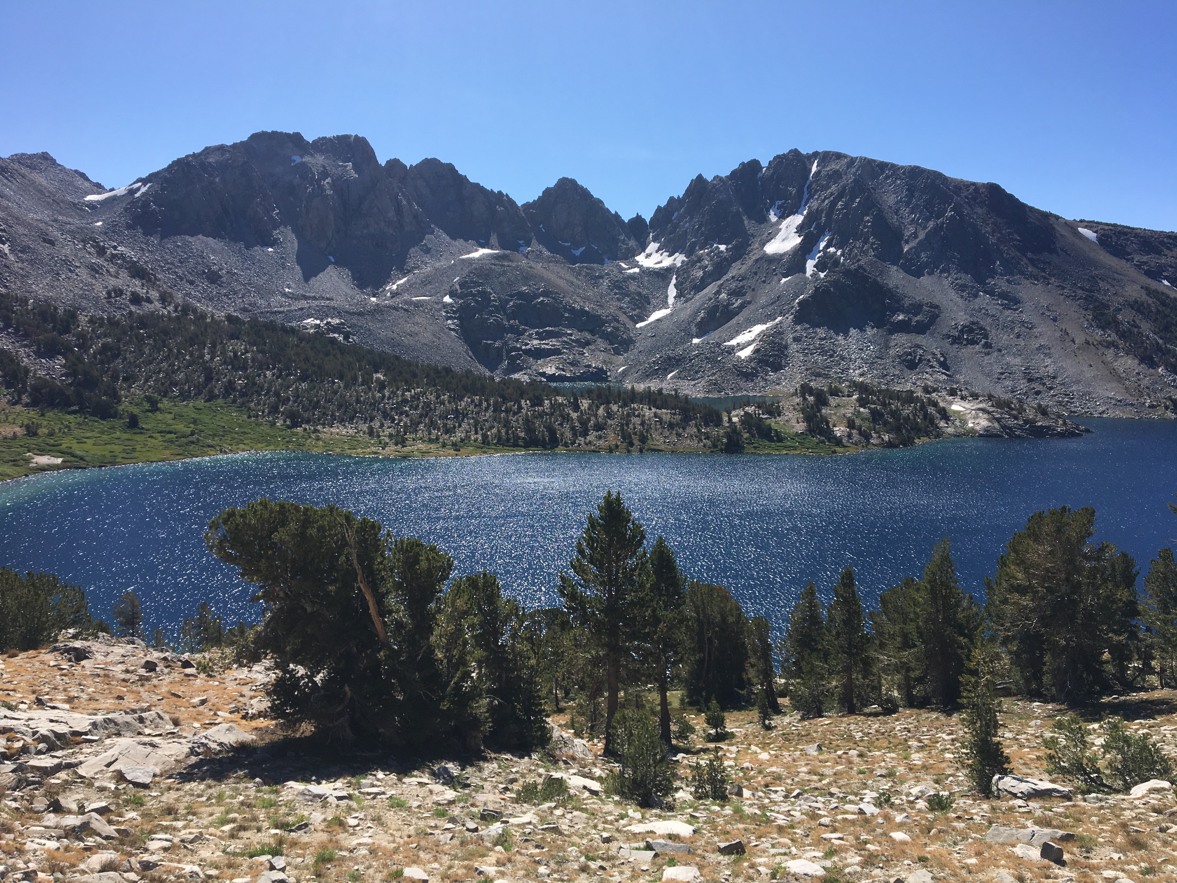
The founders of the San Diego Ski Club waited until the conditions were right before hiking up Cuyamaca Mountain, so that they could capture the thrill of schussing back down. Some modern skiers honor this tradition by skiing both up and down local and Sierra slopes.
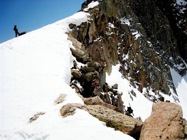
There is still plenty of backcountry action around San Diego. In the 2011 winter, one could ski down Cuyamaca Mountain on the same access road that was frequently used by club members in the 30's, 40's and early 50's. See Ski History Page for more information on that period. The picture below is taken from just below the peak last February (2/2011).
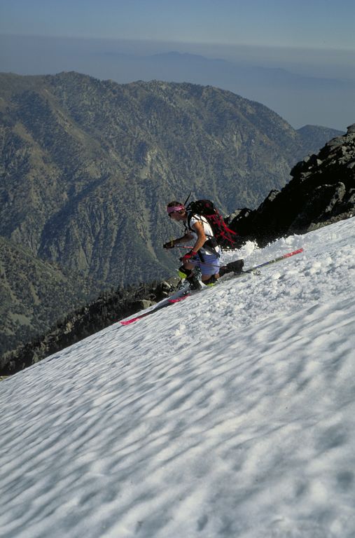
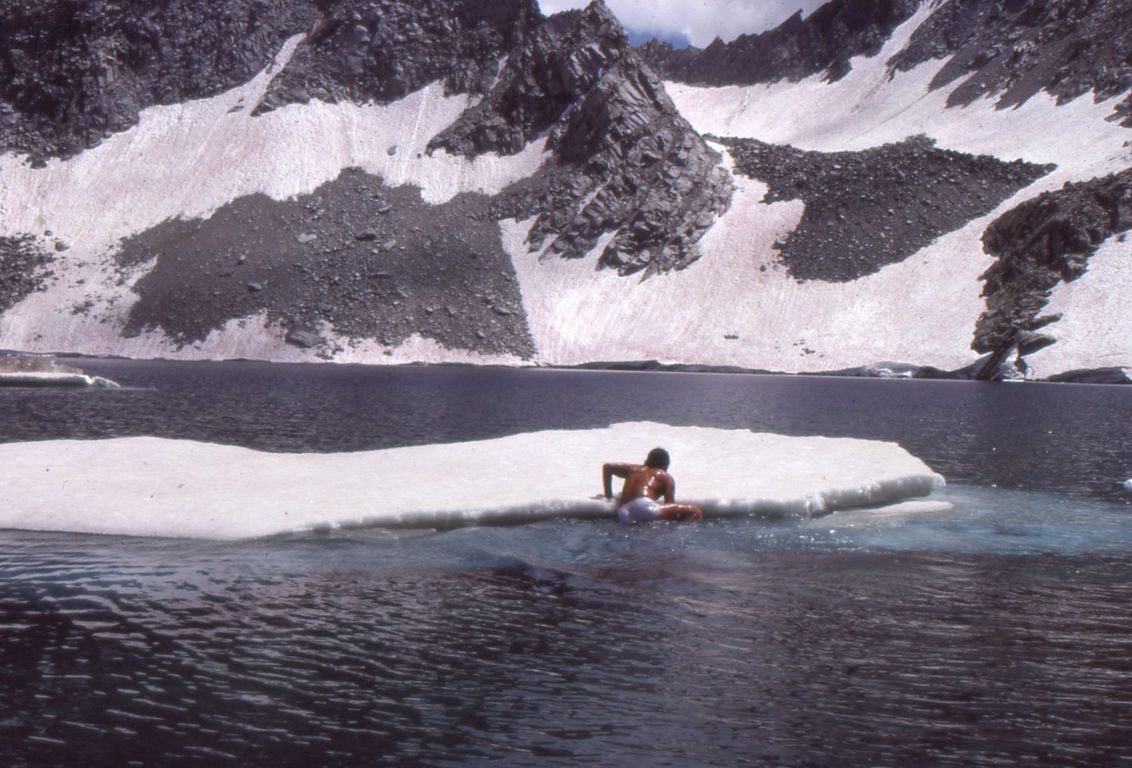
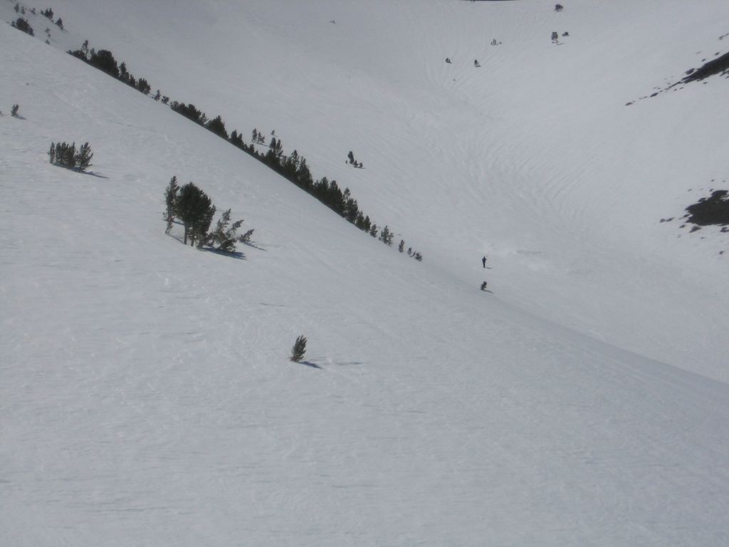
Old Man’s bowl above Convict Lake
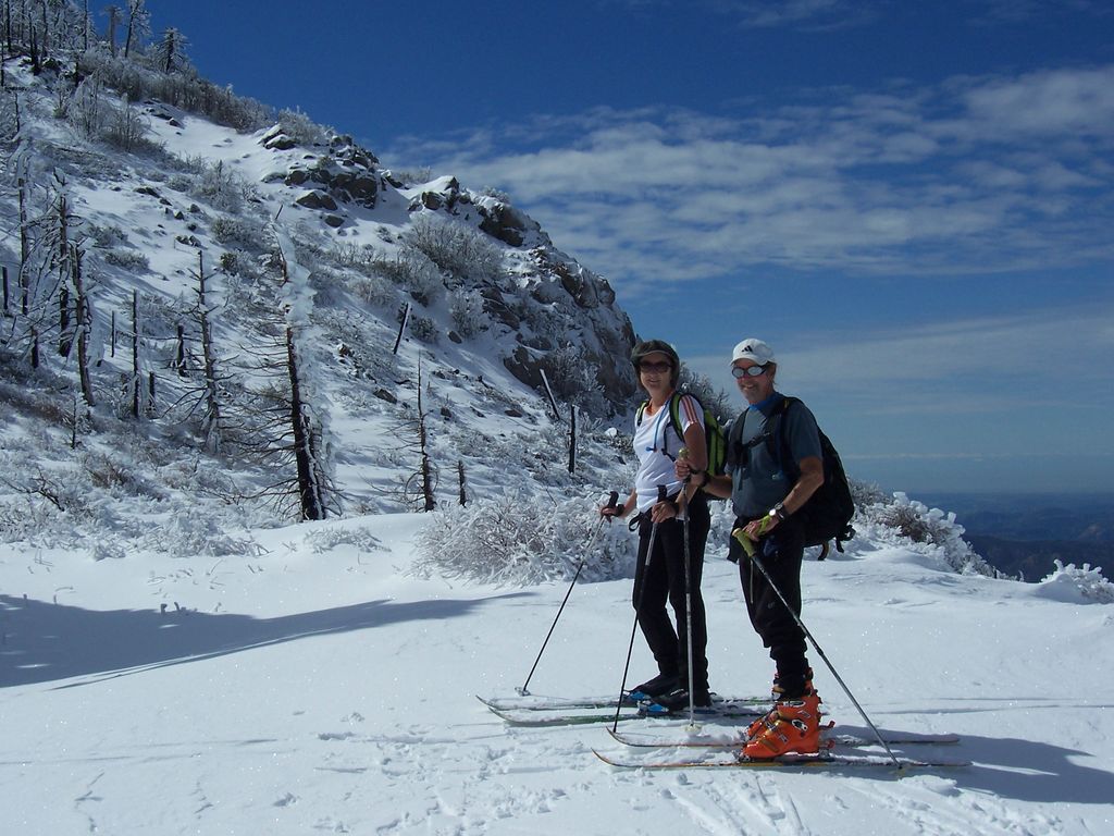
Any good trip to the Sierras involves the obligatory 395 drive. When some friends invited me to skin up from Convict Lake and get some late spring skiing, I appreciated the ground cover on the way up.
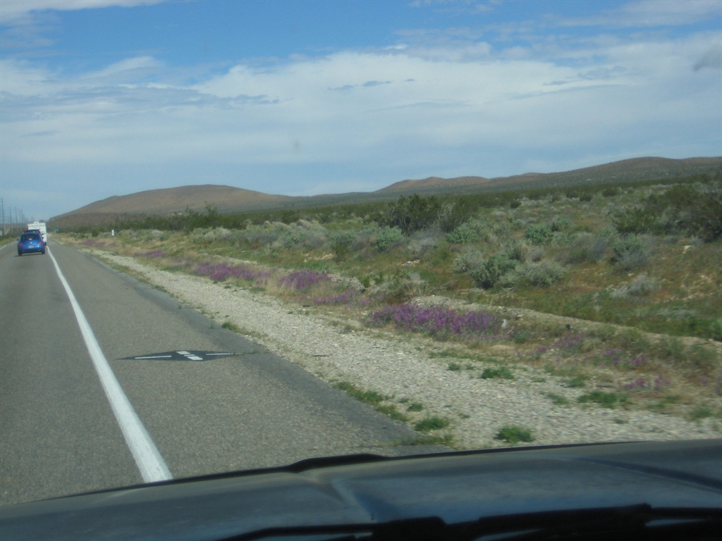
Verbina on 395
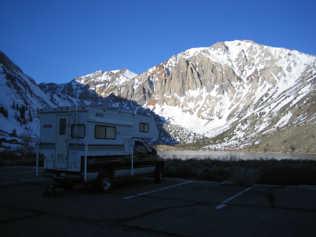
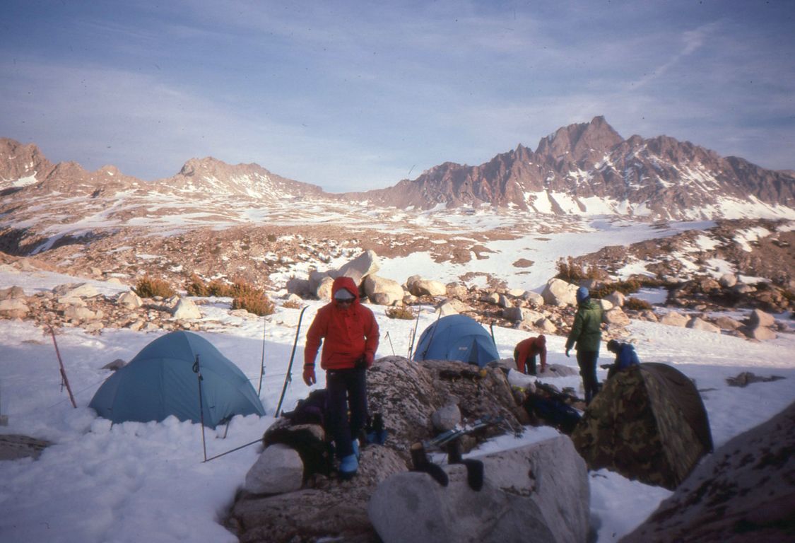
Camping at Convict Lake
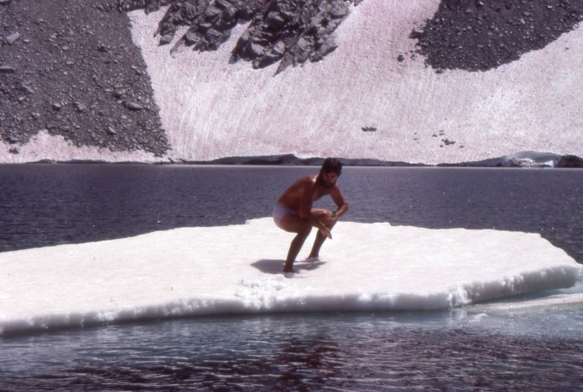
My friends were living the good life at the Convict Lake resort, but it seemed a little crowded, so I parked the camper at the lake under the no camping sign. It was a beautiful night and we got an early start up canyon the next morning. Along with my friend Mark, I was using AT gear, which is similar to Alpine but lighter. Marks two friends were using tele gear and pretty lightweight at that. From the parking lot and facing the lake, you just start skinning up the obvious weakness on the left side.
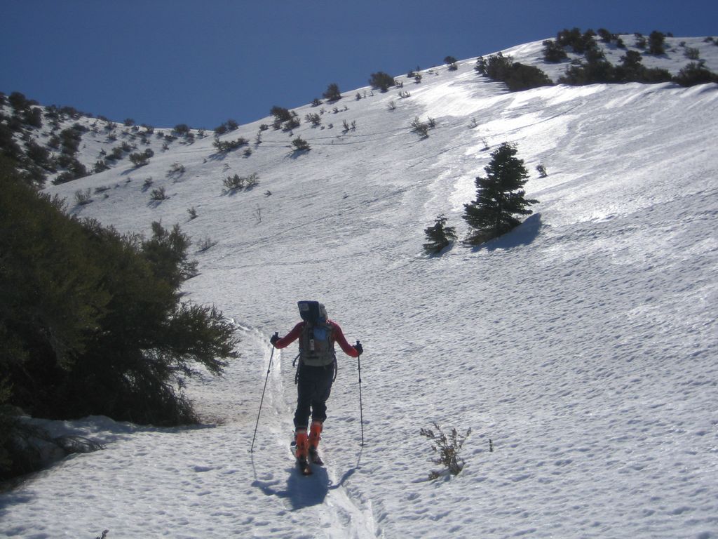
Skinning up at the start
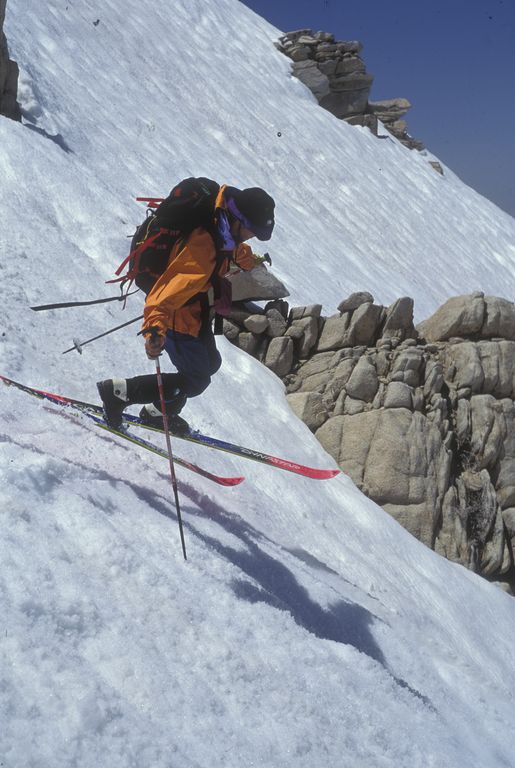
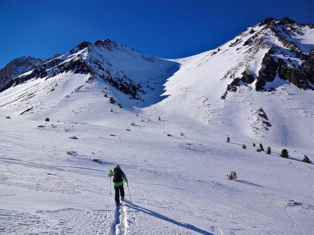
After some huffing and puffing, the drainage opens up and you get away from any slopes that could pose avy problems. It was a beautiful spring day and the temperatures were not that cold, but a pretty good wind was blowing. After the first section, you could look back on Owens Valley in a widening panorama. In contrast to the bottom of the route, there was good coverage over obstacles further up.
Getting some altitude
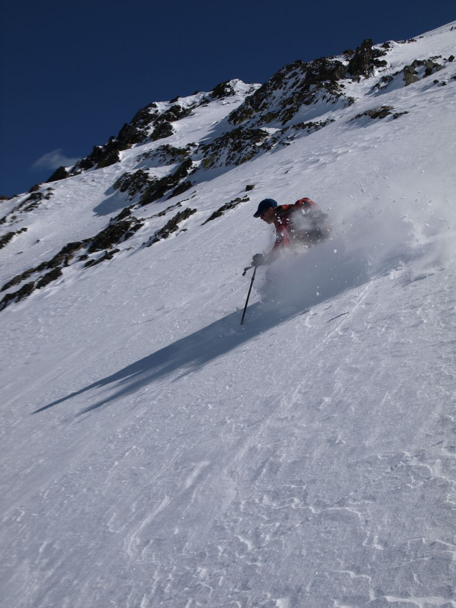
After a nice lunch break, my friends skied the bowl while I went further up the canyon and got some good snow on some shorter runs. It was a beautiful day and even the wind slowed down a little. The turns down the intermediate level valley were definitely worth the work of the skin up. The snow had gotten in good shape, until we got closer to the lake. It got a little too soft there and the snow was thin. We kind of had a race back to the parking lot thru stands of small trees and brush, just the kind of bushwacking that San Gorgonio teaches the aspiring skier. A great day and highly recommended for a beginning backcountry skier, as long as you are careful about the avy areas. I am perhaps overly cautious, but that is just me.
If anyone has any backcountry stories, please drop me a line and I would like to include them here.
Thanks,
Wayne Croston
Russian Tale of telemark and young love
SPOT Satellite Messenger review
SnowClaw (ultra lightweight snow shovel/scoop)
The Paramarker (don't miss this one!)
Webmaster's Jean Peak Story
Our good friends Jerry and Dianna had their 50th wedding anniversary, so Kathy and I hosted a small party of 15 to honor the occasion. We all had a good time and enjoyed the company, food and drink. 3:30 AM the alarm went off and it was time to meet my ski buddies at the Poway park and ride.
We had tried to get up to Jean Peak last weekend, but didn't quite make it. I had a new pair of skis (wider) and was anxious to try them out. On the way up we were treated to a blue sky and snow on the foothills from the storm the day before. We made the 8:00 Palm Springs tram with time to spare.
I was a little intimidated by the level of the group. It soon became obvious that I was the weak member, whether from too much fun the night before or just genetics and geriatrics. The sky was a cobalt blue, six or eight inches of new snow and no wind. We wasted no time getting to Round Valley, about two miles from the tram. We were all using skins (pile on one side adhesive on the other) on the bottom of our skis. There was a mix of telemark and alpine touring equipment. One thing for sure, these guys and gal were making me look rather like a little too old or at least too slow.

Round Valley, Jean ahead
Well, we are now off for it. I don't feel any desire to achieve a mastery over my self, I am starting to regret eating that tomale at 4:10 AM. My stomach is turning, am I in an impossible situation? That's OK, just calm down, we can contain this situation. It is getting more and more out of my comfort zone as the Jean Peak becomes closer. It is quite steep, but the skins are holding. The day is so beautiful that I have almost forgotten that my shallow breath indicates some lapse between what my body wants and what it is getting. Fortunately, for me (!), Afra has foot problems. I get to rest. It is good and am starting to enjoy the sky above and the snow below.

Afra going up Jean Peak (South face)
Now we are on top and I'm going to find a place that is private. Not to think deep thoughts.

Jean Peak looking Southeast
I'm back and the better group looks like they are history. The drop over Jean Peak is much steeper than the video. Sierra Descents Video Link I start to head toward the North, to find a way that works for a guy that probably doesn't qualify as "expert". Don't mistake me now, I can look pretty good at a resort place that has those cushioned rescue sleds. It is up here where you pay dearly for those mistakes in judgment or over estimations of your capability to function under pressure. Dave and Afra follow me and everything looks rosy, until my line shows that sooner than later you are going to have to drop into this abyss. Plus, because we have avoided the hard part, now we are way lower than we need to me to drop back into Round Valley.
This means that we are following tracks into a narrow ravine called Tamarrack Valley. Dave is making great low speed turns, but Afra and I resort to booting trail. With 4 pound boot weight, this is not a great solution. Dave is having the time of his life, skiing very well and not getting hurt.
We are back to the tram ramp at 10 minutes to 3. This means that you must push as hard as possible to catch the 3 o'clock. Later than that, the masses of SoCal will haunt you as you wait in an "express" line that someone has trouble with their checkbook. We are back on the road, no one is hurt and it has been a transforming experience. San Diego rocks..

Tracks left for You to follow
Webmaster's summer hike to Whitney...
My brother and his friends have done the Pacific Crest and Continental Divide trails. How could I refuse a place on their permit to hike from Kearsarge Pass to Whitney?
My wife Kathy celebrated her 50th at Charlotte Lake, with Leslie providing the wine and chocolate! A few tough spots like Forester Pass and then the finale came a bit early. A 3 am start from Guitar Lake with a big moon, so we didn't need headlamps. The whole Sierra seemed at our feet.
After an 8 am visit to the peak, the trip down the dusty and congested Whitney Portal trail seemed a bit of a fall from grace.
Whitney and 50 miles on the John Muir Trail (July 2009) from John McFrog on Vimeo.
In between the professional guided trips and the steep and the deep, there are many options for the person wanting to get into the backcountry safely. The local Sierra Club Ski Section provides outings of all levels of difficulty combined with training on the essential backcountry avalanche equipment (beacon, shovel, probe and brain).
Once basic survival skills are learned, there are alternatives to the rigors
of snow camping.
Rock Creek Winter Lodge offers cabin style accommodations
.jpg) with gourmet food or the webmaster's favorite, the Mosquito Hut. In the Rock
Creek drainage near Tom's Place, the skiing is excellent and both wood and
cooking gear are provided.
with gourmet food or the webmaster's favorite, the Mosquito Hut. In the Rock
Creek drainage near Tom's Place, the skiing is excellent and both wood and
cooking gear are provided.
A good website for instructional videos, gear reviews and general interest for backcountry skiing is TelemarkTips.com Another site that has a wealth of gear reviews, trip reports and commentary is SierraDescents.com - Climb Up and Ski Down
There are many ways to find adventure in the backcountry. The use of lightweight gear is one way to explore the limits of what can be accomplished in a day. Three interesting projects of this nature are:
Evolution Loop, Skate Ski solo blast
Sierra High Route in a day
Bike to Bag Mount Darwin, then ski it
Pictures on the right of Robert Bland courtesy of Craig Dostie, founder of Couloir Magazine and Earn Your Turns website.
After last year success with organizing a hike on Sun after our chalet work party we have decided to do an encore with a goal making it a tradition for years to come. With our members being generally fit we have selected a moderate 10 mile scenic hike to Duck Pass.
This trail did not disappointed us. At every turn there was something amazing to see. The first part of the trail is straight up but don't let that stop you. Once we've got past that the path leveled out and suddenly the beautiful sceneries of the lakes basin cradled by rugged peaks started to appear in front of our eyes. The lakes we passed and the streams we crossed made us to stop in wonder.
When hiking the last part of the switchbacks to the top of the pass we saw Skelton, Arrowhead, Barney and Blue Crag Lakes shimmering below us like precious jewels with Mammoth Mountain in the background. You think there is nothing more beautiful than this. Well, there is Duck Lake is incredible! The moment we reached the top and walked just few hundred yards over the Duck Pass (10,800-ft) we were rewarded with a spectacular deep blue sea of water called Duck & Pika Lake.
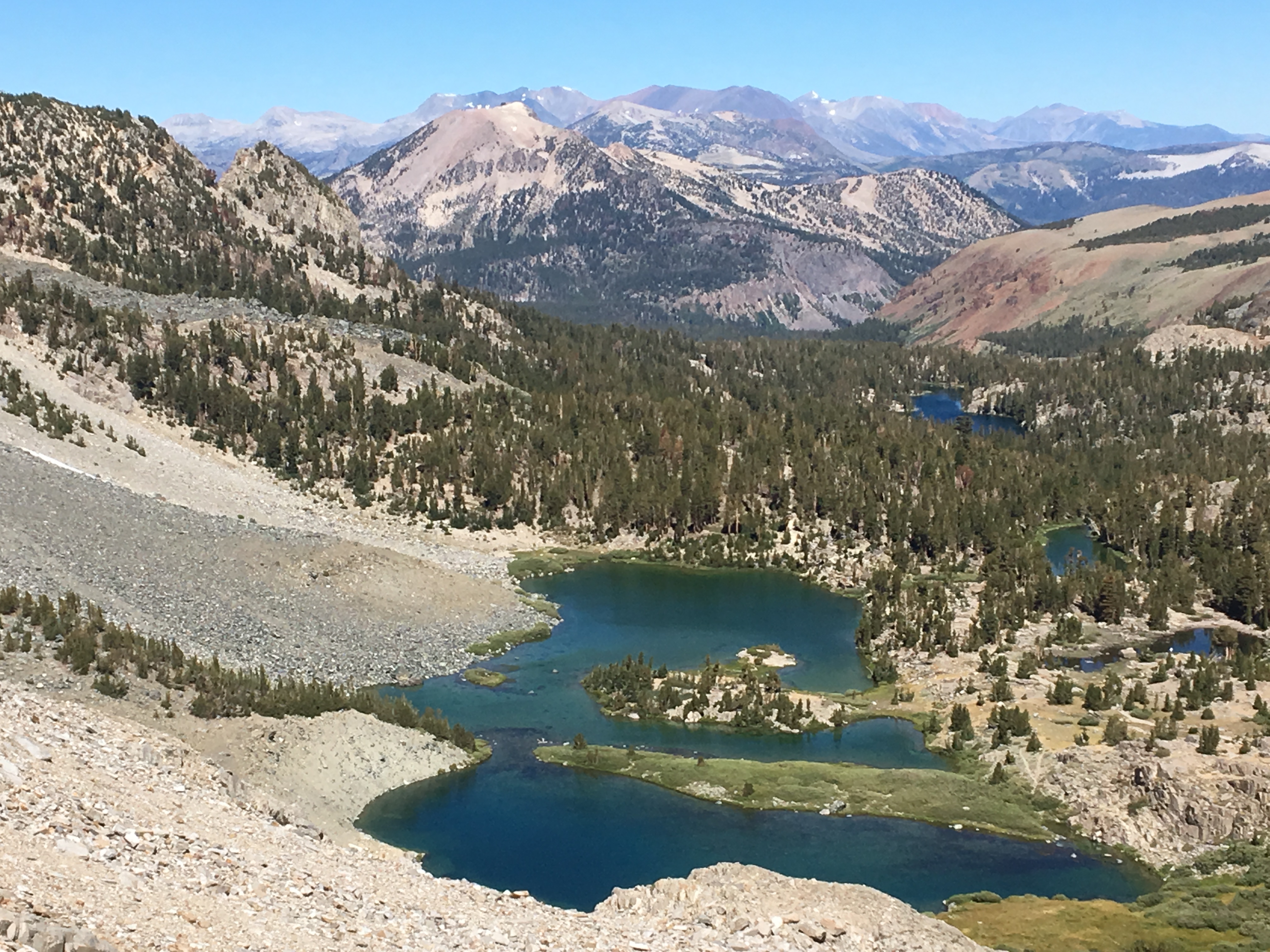
This hike should be on everyone's Mammoth Summer must to do list. So if you missed it, I hope you will have the opportunity to hike it in the future.
Melanie Hanusova

It seemed like the alarm didn’t go off. I looked at the clock and it was already 5 after 5. Not sure that I can make the 8:00 tram from Palm Springs. I had a great day yesterday sailing (link to sail), but in the evening had received a call concerning an email being circulated by a “friend” that tried to make me look like an idiot . The betrayal feeling was the emotion that led to sleeplessness, which in turn led to taking a sleeping pill and not hearing the alarm. Such is life. Kind of feeling low energy, but after getting some coffee was ready to make the 150 mile drive to the tram .

San Jacinto is on the South side of 10 as you go toward Palm Springs. It is 10,834 feet high and can be seen from San Diego or more easily from out at sea . Although there are many trails to the upper reaches from the West side, one shortcut is to take the Palm Springs Ariel Tram. It starts out at 2643 ft elevation And ends at 8516. It takes about 11 minutes to achieve this altitude. I like the tram.

Afra making sure that we are where we should be
It was very icy last week when Afra and I tried skiing up a new route that Dave had found. This route headed about 300 degrees from Round Valley. The trail to that valley from the tram is well defined, but runs up a creek bed and is usually rock hard. Snowshoe people usually avoid the trail like the plague and head directly up the steep but less icy Tamarack drainage. Afra is a very positive Dutch lady, who dismissed our struggles with the icy Round Valley trail as “good exercise”. She was sure that everything was going to loosen up with the coming sunshine. I was not so optimistic. At 10,000 feet it was getting more like boilerplate, so we called it a day. We could see the slopes of Jean Peak and San Jacinto, so the route was proven, without benefit of GPS. The edges sang or should I say shrieked on the way back, but no one got hurt and it was quite exciting.
I made the first tram , with a few minutes to spare. In the car were two rangers, one lady with her petrified kid, a fellow gray snowshoer, a snowshoe couple, and the tram operator. One ranger is giving a summary of the personnel experience levels, problems and a dismal report of the dangerous conditions on the mountain. I was glad to get off the tram before hearing more good news. We rushed down the ramp toward the ranger station, to pick up a permit. The ranger at the desk squinted with a frown when I told him the route was 300 degrees from Round Valley, but didn’t come right out and say that a solo hiker shouldn’t be doing this route. I had a plan to mitigate the risk, which involved a cell phone and my runner’s Garmin 201, which can get lat long on a position. Anything goes wrong, call in the lat long and wait for the sled. Unfortunately, the Garmin locked up on the tram ride and my cheap pay as you go phone never got service.
I was the first one up the trail with my microspikes (link to pictures of microspikes). I had wished all last week’s trip that my gear included these little wonders. At less than a pound, they go on and off easily and provide excellent grip on trail type steepness. With two poles for balance, they allow fast hiking on icy trails. My backup gear included snowshoes for deeper snow (never used) and an ice axe, in case you get somewhere that a fall will result in a slide for life. Going solo in icy conditions, I wanted to be on my feet rather than on skis.
Got the Garmin to reset by a sequence of frantic button smashing at Round Valley. It is at 9000 foot and it took about an hour from the ranger station. Didn’t bother with the compass, because the route just follows the contour up the right side of the valley, then heads West for a while and then back to a little break in the flank of Jean Peak. My personal problem has pretty much receded out of the picture. My footing is good and the Boreal mountain boots can penetrate into the steeper snow to provide good purchase. I try to breath in through my nose and accentuate the out breath through my lips. As it gets steeper, I do this with each step. One step breathe in, another step breathe out. The breathing at altitude is kind of a natural pranayama. The trees look healthy and tall. Their shadows provide harder snow, which makes progress easier. The more your feet sink, the slower you go and the more energy expended. Just like sailing in a light wind, you go back and forth rather than heading directly toward an objective.
I’m kind of wondering where everyone is. Last Sunday, we saw at least ten people on the flank of San Jacinto or close to this part of the circ valley defined by Jean Peak and the former. I haven’t seen anyone. Even the wind is quiet. It’s a little unnerving. I pass the prominent boulder we used for a backrest last week. I feel pretty strong, but stop and munch on a sandwich to be sure that there is enough fuel in the tank. Crossing over to the San Jacinto side of the valley, I look for some tracks to lead the way. I finally settle on some ski tracks, but when I start using them the footing slips out a bit. If I were with someone else, probably would ignore this little surge of adrenalin.
I’m thinking those old thoughts again. Why do I really need to go up this steep slope? It’s been a fun day, but is it really wise to do this alone? A person could get hurt up here. It looks too steep and there are some cliffed out parts with lots of rocks sticking out. Maybe I can come back next week with a friend. I stop while doing all this great thinking. My leg is starting to quiver a little from being in the same position too long. Then the other voice starts. You are 66 and something that you put off may not happen. I tentatively try breathing regularly while kicking the front of my boot into the slope to get more security on each step. I’m feeling better now and it really isn’t that steep or icy. A person could get hurt anywhere, if they don’t pay attention to what is going on around them. My confidence comes back and I’m just back in the present, trying to pick the best route up the flank.
At the top, the grade eases off. I’m at 10,450 and only another 400 feet of elevation to go. Starting to see all the development around Palm Springs, the mountains to the South, the beauty of the snow capped San Gorgonio. This was worth it. At the top, I take a quick peek over the edge toward the North, where the exposure is impressive down to the desert floor. It is seven miles and 10,000 feet to the desert floor, one of the steepest escarpments in North America.

North Face of San Jacinto
It is a little before 1 o’clock, about four and a half hours to the peak. The phone has no service here either, so much for that crutch. Time to start down. Going down is easier than I thought. These boots and microspikes work great. Most of the time a simple heel stomp will give good footing. On the icier parts, simply canting the boot into the slope and giving it a good emphasis at impact makes for a stable platform. A little sliding in the soft snow is OK, nothing out of control so far today.
Finding the little entrance into Round Valley is easier the second time. I’m making great time going downhill on the icy trail from the valley to the tram. Am back to the tram by 2:45, which means the zoo is in full production. However, everything has changed in a subtle but good way for me. I’m laughing at things that might on another day have given a smirk. It’s easy to be nice to people. It’s been a good day.